Te Motu o Poutoa: Anzac Park

This clifftop reserve is dedicated as a memorial to fallen soldiers who came from the local area. It offers great views across the city as well as a walking track. The site is of great significance to Rangitāne, recognised in its name: The place of Poutoa.
The reserve is a remnant of the original bush that early European settlers named the "Ninety Mile Bush" – so called because it extended for ninety miles from lower Wairarapa to North of this park. Visitors will get an impression of what these settlers faced when they arrived from Denmark, Sweden and Norway – an almost impenetrable forest.
We're developing a civic marae and cultural centre here
This project aims to restore the mana and identity of this significant site while creating a space for everyone in the community to enjoy. It's part of our long-term plan for Palmy between now and 2034.
The facility will feature a public café, an urban marae, and spaces for private events. It will also have an educational focus, making it an ideal destination for school trips and a great place for locals to bring friends and whānau.
Keep updated as the project progresses
History of Te Motu o Poutoa
Te Motu o Poutoa, the Island of Poutoa, is the most sacred pā in Palmerston North.
Many are unaware of the significance of this hillside to Māori – its 500-year history as a fortified pā, named after Poutoa, the Rangitāne chief who founded it for his people. His descendants include Paewai, Te Awe Awe, Te Rangiotu and other families.
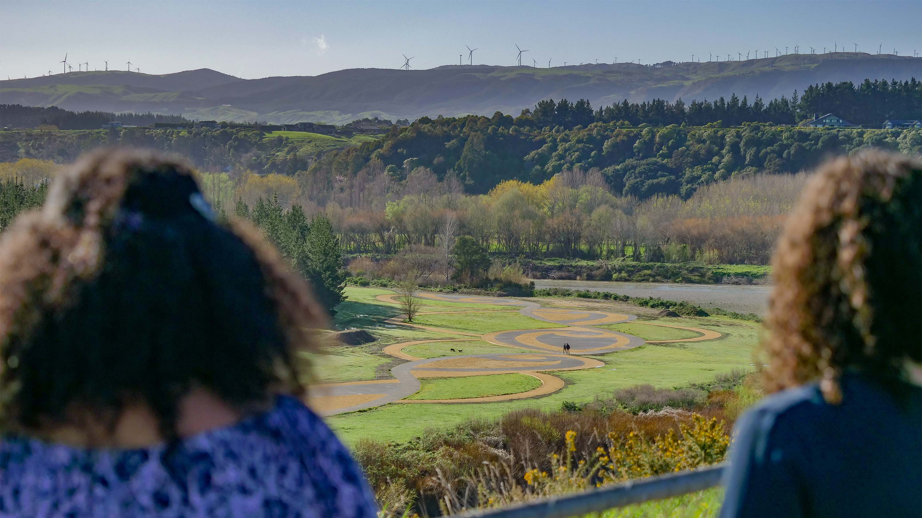
The whenua rises above the Manawatū River, overlooking the city behind Aokautere.
It was a site of loss and love, and its roots have come together in the form of a partnership between iwi and council to preserve the wāhi tapu (sacred place) that many have fought to acquire for generations.
Chief Poutoa, who founded the site in the early-1500s, was travelling down the Manawatū River when he spotted the peak, believing it to look like an island.
Being able to see clearly from north to south down the awa, and regarding the vantage point of the hill’s peak to be a secure pā site for times of conflict, Rangitāne chose to settle there.
For more than 500 years, Rangitāne lived here, retreating to the peak of Te Motu o Poutoa when battles ensued with neighbouring iwi, Ngāti Apa.
In 1820, Rangitāne suffered a brutal attack. Hundreds were killed in the raid and the pā was destroyed, burned to the ground by Ngāti Apa’s warriors. Only some escaped and are survived by their ancestors here today.
Post-European settlement
As colonial powers began to purchase land from Māori, Te Motu o Poutoa was sold in the Te Ahuaturanga Block in 1864.
The land was purchased from Kairanga County Council as Anzac Park in 1916. It is assumed that at some point prior to this date, the Patriotic Society renamed the park.
From 1962-63, the site changed significantly. A ridge was lowered 20 metres to form the plateau that exists today and in 1964-65, a lookout station, car park and picnic spots were formed. The Palmerston North Astronomical Society observatory was built in 1971.
Te Motu o Poutoa will be co-managed by Council and Rangitāne as partners following the adoption of the Kawenata in Relation to Te Motu o Poutoa.
Te Arapiki a Tane: The stairway of Tane
When you want to combine fitness, the great outdoors and spectacular views, then Te Arapiki a Tane should be your destination. Close to 600 steps take you down the cliffside reserve to the Manawatū River on a steep and challenging trail.
Access is from Te Motu o Poutoa and off Vaucluse Heights, with the steps linking to other river network pathways, including He Ara Kotahi.
Location
Te Motu o Poutoa, Cliff Road, Fitzherbert 4410 View Map
-40.3760245600017, 175.63167389817198
Te Motu o Poutoa, Cliff Road ,
Fitzherbert 4410
Te Motu o Poutoa, Cliff Road ,
Fitzherbert 4410
Te Motu o Poutoa: Anzac Park